By: FlySafe Research
On a single day in 2023, GPS interference in the Korean Peninsula affected over 1,000 aircraft and 700 ships simultaneously. The incident was neither isolated nor unprecedented. It underscored a structural vulnerability that aviation authorities worldwide have been slow to address: the absence of a reliable, independent backup to satellite-based navigation. South Korea's response — the construction of an autonomous eLoran infrastructure — now stands as the most advanced national deployment of terrestrial backup navigation in the world. FlySafe analysis shows that this initiative carries significant implications for global aviation resilience, and the lessons from Seoul's approach deserve close examination by every stakeholder in the PNT (Positioning, Navigation, and Timing) supply chain.
The Scale of GNSS Vulnerability
The International Air Transport Association reported a 175% increase in jamming and a 500% increase in spoofing of aircraft navigation systems over the past year alone. These figures reflect a systemic shift: GNSS interference is no longer a localized or occasional nuisance. It has become a persistent operational factor affecting flight safety across multiple FIRs.
GPS and GNSS devices are inherently vulnerable because they rely on weak radio-frequency signals transmitted from medium Earth orbit at approximately 25,000 kilometers altitude. As Tanner Cheek of Saffron Navigation noted, it is "relatively trivial for a college electronics engineering student to build a localized jammer." FCC Chairman Brendan Carr has stated plainly: "GPS is indispensable, it is not infallible."
The consequences extend beyond navigation. A 2017 UK government report warned that systematic GPS disruption "could cause total disruption to the country's financial, electricity, and communications systems." A 2022 GNSS interference event near Dallas-Fort Worth Airport disrupted aircraft navigation across a wide area and exposed the dependence of telecom networks on GNSS-based timing. In 2025, a Ryanair aircraft aborted its landing near Vilnius due to suspected interference originating from the Kaliningrad region, according to Reuters.
Airspace status: GNSS jamming and spoofing are, as Sony Semiconductor Solutions states, "no longer niche threats — they are real, growing, and already impacting critical systems."
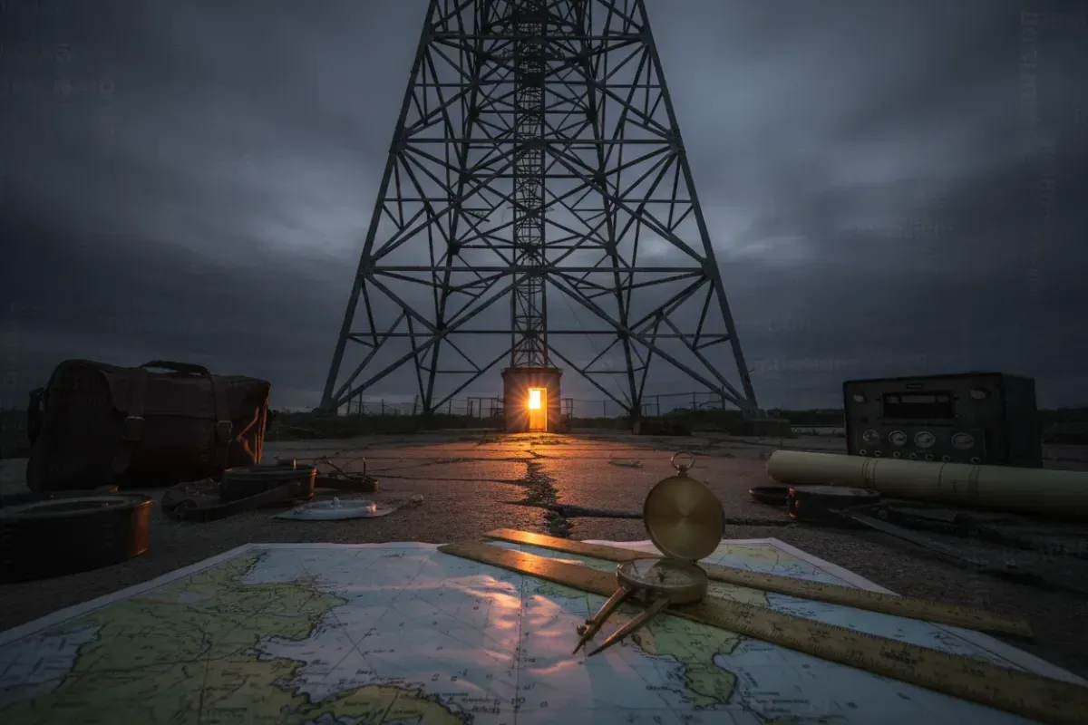
What eLoran Is and Why It Matters
Enhanced Loran, or eLoran, is a modernized, digital evolution of the Loran-C system that has provided positioning, navigation, timing, frequency, and data services to civilian users since 1958. The technology operates at 100 kHz with transmission power levels of hundreds of kilowatts — a signal strength that dwarfs the faint whisper of satellite navigation.
The eLoran Definition Document establishes that the system operates "wholly independently of GPS, GLONASS, Galileo, or any future GNSS." Its transmissions are synchronized to Coordinated Universal Time (UTC) by a method entirely independent of satellite-based systems, using multiple cesium atomic clocks or technology of equivalent quality. This independence is not incidental — it is the foundational design principle.
Core eLoran infrastructure comprises modernized control centers, transmitting stations equipped with solid-state transmitters, and monitoring sites. Transmitting stations maintain uninterruptible power supplies that ensure any failure of incoming power will neither interrupt nor affect the transmitted signal. The system includes at least one Loran Data Channel (LDC), Additional Secondary Factor (ASF) mapping, and differential corrections — enhancements that elevate accuracy far beyond what legacy Loran-C could deliver.
Critically, eLoran does not share GNSS vulnerabilities. As documented by the Resilient Navigation and Timing Foundation, the system is immune to "accidental or deliberate jamming, intentional spoofing, radio-frequency interference or space weather events" that degrade satellite signals. The terrestrial signal, transmitted at power levels orders of magnitude greater than GPS, cannot be overwhelmed by the portable interference devices that render GNSS receivers useless.
South Korea: From Vulnerability to Operational Resilience
South Korea's decision to build its own independent eLoran infrastructure was driven by direct, repeated operational experience with large-scale GNSS disruption. The Korean Peninsula has experienced some of the most frequent and severe GPS interference events documented anywhere in the world, with simultaneous impacts on aviation, maritime, and telecommunications systems.
Recommendation: South Korea's approach merits study precisely because it was not theoretical. The government moved from vulnerability assessment to infrastructure deployment after real-world disruption events demonstrated that no amount of GNSS receiver hardening could substitute for an independent backup system.
The Korean eLoran network is designed to provide reliable coverage across the nation's maritime zones and continental territory. Rather than relying on neighboring countries' infrastructure — an approach that would introduce geopolitical dependencies and coverage gaps — Seoul chose to build a sovereign, self-contained system. This decision reflects a principle that other nations are beginning to recognize: backup navigation is a matter of national infrastructure resilience, not international cooperation alone.
The historical U.S. Loran-C system required 18 stations to cover the continental United States, with six additional stations in Alaska and five in Canada. South Korea's smaller geographic footprint means that a more compact transmitter network can achieve comprehensive coverage, making the economics of deployment considerably more favorable than for continental-scale nations.
South Korea's eLoran deployment demonstrates that a nation can achieve operational GPS-independent navigation backup within a defined timeline and budget. The system is not experimental. It is infrastructure.
The Global Adoption Gap
While South Korea has moved to deployment, the global picture is far less encouraging. According to a National Security Space Association report, the United States currently does not have a reliable and resilient terrestrial backup to GPS — a striking gap given that nations including China and Russia maintain backups for their own GNSS services.
The same report recommends that U.S. agencies develop requirements for critical infrastructure to employ more than a single source of precise PNT and to have the capability to sustain normal operations for at least thirty days during an extended space-based PNT disruption. This thirty-day benchmark is significant: it acknowledges that GNSS outages may not be brief, localized events but potentially sustained disruptions affecting entire regions.
A number of countries are actively reviewing their dependence on GNSS for critical infrastructure, and some are planning the implementation of eLoran transmitter networks. The United Kingdom conducted extensive eLoran trials and possesses existing transmitter infrastructure. Several European nations have evaluated eLoran feasibility studies. Yet in most cases, deployment timelines remain undefined.
The gap between recognition and action is considerable. The technical maturity of eLoran is not in question — the technology is globally standardized, and receivers are designed to be operable in all regions where an eLoran service is provided, working automatically with minimal user input. The barrier is institutional, not technical.
The "System of Systems" Imperative
Industry experts increasingly advocate for what has been termed a "system of systems" approach to PNT resilience. No single technology will replace GPS entirely, and the objective is not replacement but redundancy.
Affected routes: Every airway, approach procedure, and en-route segment that relies solely on GNSS is, by definition, a single point of failure. The aviation system has historically demanded redundancy in every critical function — dual engines, dual hydraulics, dual electrical buses. Navigation remains a conspicuous exception.
Iridium's low-Earth-orbit satellite constellation, operating 66 satellites at 400 kilometers altitude, produces signals that are "a thousand times stronger" than GPS, according to Rohit Braggs, vice president of PNT at Iridium. LEO-based PNT, combined with terrestrial eLoran and inertial navigation systems, represents the multi-layered architecture that could render GNSS interference an inconvenience rather than a safety-critical event.
Companies in high-precision tracking, autonomous systems, critical infrastructure, and logistics are beginning to invest in resilient architectures. Hardware vendors are embedding interference-detection features into chipsets. Research laboratories are exploring next-generation approaches including quantum timekeeping. Organizations are implementing incident response protocols that define how systems should behave during GNSS anomalies — for example, automatic switching to backup PNT sources and alerting operators.
Based on publicly available NOTAMs and EASA Safety Information Bulletins, the operational reality is that crews today are expected to manage GNSS degradation with procedures rather than technology. eLoran changes this equation fundamentally by providing an automatic, infrastructure-level fallback.
Timing: The Overlooked Dimension
Navigation captures the headlines, but timing may be the more consequential application of eLoran. Modern telecommunications, financial trading systems, power grid synchronization, and data center operations all depend on precise time references — and most derive that precision from GPS.
eLoran's timing precision, in the range of 10⁻⁷ seconds, is sufficient for the vast majority of critical infrastructure timing requirements. The system delivers a national timescale synchronized with, but operating independently of, GNSS time scales. This means that during a GPS outage, eLoran can sustain the timing infrastructure that keeps financial transactions ordered, cellular networks synchronized, and power grids stable.
The eLoran Definition Document specifies applications across aviation, maritime, land mobile, location-based services, and time and frequency distribution. South Korea's deployment addresses all of these simultaneously. A single infrastructure investment provides resilience across multiple critical sectors — a return on investment that single-purpose backup systems cannot match.
What Needs to Happen Next
FlySafe analysis indicates that the trajectory from South Korea's operational eLoran system to broader global adoption requires action on several fronts.
First, regulatory frameworks must recognize eLoran as an approved backup navigation source. Without regulatory standing, airlines and operators have no mandate — and limited incentive — to equip aircraft with combined GNSS/eLoran receivers.
Second, the export control environment must evolve. The NSSA report recommends that the Department of State and Department of Commerce reform export control regulations to facilitate the international proliferation of resilient PNT technology. eLoran infrastructure and receiver technology must be deployable globally if it is to serve as a meaningful backup in international airspace.
Third, receiver integration must advance. eLoran is described as ideally suited to complement GPS because its signal generation and transmission are completely independent of satellite systems. Combined GPS/eLoran receivers can detect discrepancies between the two sources — a capability that provides inherent spoofing detection that GPS-only receivers cannot achieve.
Fourth, nations must accept that PNT resilience is infrastructure, not a research program. South Korea did not study the problem indefinitely. It built transmitters, deployed receivers, and created an operational system. The technology is mature. The standards are global. The threat is documented. What remains is the institutional decision to act.
Frequently Asked Questions
How can a combined GPS/eLoran receiver detect and reject spoofed GPS signals that fool GPS-only receivers?
A combined receiver cross-references position and timing solutions from two wholly independent systems. Because eLoran signals are terrestrial, high-power, and generated without any satellite dependency, a spoofed GPS signal will produce a position fix that disagrees with the eLoran solution. The receiver can flag the discrepancy and default to the eLoran-derived position, providing an integrity check that no single-source receiver can replicate.
Why is South Korea building its own independent eLoran infrastructure instead of relying on neighboring countries' systems?
Dependence on foreign transmitter networks would introduce coverage gaps, availability risks, and geopolitical dependencies that undermine the core purpose of a backup system — sovereign resilience. South Korea's geographic footprint also permits comprehensive coverage with a compact transmitter network, making independent deployment both strategically sound and economically viable.
How does eLoran's timing precision provide advantages for critical infrastructure beyond basic navigation?
eLoran delivers timing accuracy in the 10⁻⁷ seconds range, sufficient for telecommunications synchronization, financial transaction ordering, and power grid management. Because this timing is derived independently of GNSS, it sustains critical infrastructure operations during satellite outages that would otherwise cascade across sectors far beyond aviation.
Can eLoran provide effective backup when GPS interference affects over 1,000 aircraft and 700 ships simultaneously?
eLoran operates at 100 kHz with transmission power of hundreds of kilowatts — orders of magnitude stronger than GPS signals. The interference devices that disrupt satellite navigation have no effect on eLoran's terrestrial signal. During a mass GPS disruption event, eLoran-equipped platforms would continue to receive accurate position and timing data without degradation, regardless of the number of users affected.
Analysis based on publicly available data only. FlySafe Research provides aviation risk intelligence derived exclusively from publicly available, independently verifiable data sources published by international aviation authorities, academic institutions, and open-data projects. FlySafe does not possess, access, or utilize any classified or non-public information.
- GPS signals transmitted from ~25,000 km altitude are inherently faint and trivially easy to jam — IATA recorded a 175% surge in jamming and 500% surge in spoofing in a single year, making interference a persistent operational baseline, not an edge case.
- GNSS dependency is not limited to navigation: financial systems, power grids, and telecom networks all rely on satellite-based timing, meaning a sustained jamming event can cascade into a multi-sector infrastructure failure.
- eLoran counters GPS's core weakness by design — broadcasting at 100 kHz with hundreds of kilowatts of power, producing a signal orders of magnitude stronger than satellite nav and therefore highly resistant to the jamming and spoofing that defeats GNSS.
- A single 2023 jamming incident on the Korean Peninsula simultaneously disrupted over 1,000 aircraft and 700 ships, which directly drove South Korea to build the world's most advanced national eLoran deployment — demonstrating that adoption requires a concrete crisis, not just known risk.
Powered by B1KEY
Live tools behind the analysis.
The signals FlySafe writes about are also published live — continuously verified by the Sentinel pipeline.
Information is accurate as of the publication date. FlySafe uses exclusively publicly available data.