By: FlySafe Research
By September 2023, a phenomenon that had been largely theoretical crossed into operational reality. GPS spoofing began disrupting civil aviation on an unprecedented scale. According to an OpsGroup technical guide, an average of 300 flights per day were affected by January 2024. By August 2024, that figure had climbed to approximately 1,500 flights per day — with 41,000 flights experiencing spoofing in a single month. In this environment, one piece of equipment has emerged as the critical backstop: the Inertial Reference System (IRS). FlySafe analysis shows that understanding how IRS functions — and how it interacts with GPS — is now essential knowledge for every operator navigating high-risk airspace.
How GPS Spoofing Reaches the Flight Deck
Civilian GNSS signals lack cryptographic authentication, a structural vulnerability that makes spoofing technically straightforward. As described by Aircraft Performance Group, the process follows four phases: synchronization with real signal timing, overpowering the authentic signal, capturing the receiver by forcing it to accept false data, and deception through the feeding of misleading position information.
The consequences extend well beyond a shifted map display. GPS spoofing can disrupt an aircraft's internal clock, causing misalignment that interferes with Controller-Pilot Data Link Communications (CPDLC). As noted in the GPSwise white paper, the loss of CPDLC forces reliance on voice communications, increasing pilot and ATC workload — a particularly acute risk in oceanic and remote airspace where alternative communication options are limited.
Aircraft that rely on a single GNSS source without robust cross-checking are especially vulnerable. Older avionics may lack signal integrity monitoring such as Receiver Autonomous Integrity Monitoring (RAIM), which uses algorithms to detect erroneous signals by comparing data from multiple satellites. Even RAIM, however, was designed primarily to detect faulty satellite broadcasts rather than deliberate signal manipulation.
Reported incidents have included GPS position jumps of 50 to several hundred miles along busy airways, according to Honeywell Aerospace. A 2024 report by the GPS Spoofing Working Group — comprising pilots, controllers, regulators, and manufacturers — concluded that the danger to civil aircraft from spoofing is "extremely significant," as reported by Aviation Week.
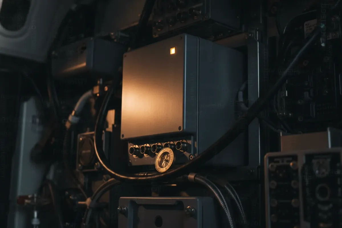
The IRS: A Self-Contained Navigation Reference
The Inertial Reference System operates on a fundamentally different principle from satellite-based navigation. According to WTW's analysis, the IRS does not need external input to determine its position on Earth. Before takeoff, the system calculates its initial position using the planet's rotation — 15 degrees per hour — relative to the aircraft in its stationary position. Once initialized, it maintains the aircraft's heading relative to True North using a combination of lasers, gyroscopes, and accelerometers.
This self-contained architecture is what makes IRS inherently resistant to external signal manipulation. No radio frequency signal is received, processed, or trusted. The system measures physical forces — acceleration and rotation — and integrates them over time to maintain a continuous position solution. As Aviation Week noted, inertial navigation systems provide "independent position updates that cannot be spoofed in the same way as" satellite-based navigation.
The limitation of pure inertial navigation is drift. Without periodic correction, small measurement errors accumulate over time, gradually degrading positional accuracy. This is precisely why modern aircraft use hybrid systems that blend IRS data with GPS corrections — and it is also precisely where the spoofing vulnerability enters.
The Hybrid Problem: When GPS Poisons the IRS
Modern Flight Management Systems (FMS) typically operate in a hybrid mode, continuously updating the IRS position with GPS data to eliminate drift. Under normal conditions, this produces the best of both worlds: the stability of inertial measurement corrected by the precision of satellite positioning.
During a spoofing event, however, this integration becomes a liability. Falsified GPS data feeds directly into the hybrid solution, corrupting what would otherwise be an accurate inertial position. The OpsGroup technical guide identifies this cascading effect as one of the most severe impacts of spoofing — the corruption propagates through the FMS and the Hybrid IRS simultaneously.
The FAA's GNSS Interference Resource Guide explicitly warns of the "potential corruption of an inertial navigation system's present position outputs to other aircraft systems." The recommended countermeasure is direct: inhibit GNSS updating of the inertial navigation system. This prevents spoofed signals from entering the navigation position.
The critical insight, confirmed by Honeywell Aerospace, is that during a spoofing event, the pure IRS position remains correct. Updating the FMS position to the pure IRS position would correct the deviation caused by the spoofed GPS signal. The challenge lies in recognizing the spoofing event quickly enough to act — and in understanding the operational trade-offs of disconnecting GPS.
Detection and Automated Defense: The Next Generation
The aviation industry has moved beyond manual detection toward automated anti-spoofing solutions embedded in the IRS itself.
Honeywell Aerospace has developed anti-spoofing algorithms designed to reject spoofed GPS position shifts of 0.2 nautical miles for more than six minutes, and position shifts of 3 nautical miles for over 60 minutes. When spoofing is detected, the Air Data Inertial Reference System (ADIRS) alerts both the FMS and flight crews. This technology was expected to certify on a commercial air transport platform beginning in 2025, with availability for Honeywell's LASEREF VI IRS in the second half of 2025.
In "High Step II" hybrid systems, advanced filtering provides a RAIM-like function and extends integrity protection, allowing the system to "coast" using the Hybrid Inertial Position during GPS loss. This capability makes RNP navigation — especially approaches using low RNP values — more robust against GPS outages that would otherwise lead to unexpected missed approaches.
Detection methodologies continue to evolve across the industry. One approach involves monitoring abnormal Doppler shift measurements from GPS satellites, which orbit at 20,200 kilometers in Medium Earth Orbit, and comparing them against other aircraft velocity sources. The GPSwise solution provides real-time alerts and categorizes aircraft into three states: those currently experiencing interference, those previously affected, and those with degraded navigation capabilities. Their detection algorithms operate on ADS-B data combined with Secondary Surveillance Radar (SSR) or Multilateration (MLAT) to improve accuracy.
Operational Procedures: What Crews Must Know
Based on publicly available NOTAMs and regulatory guidance, several concrete procedures have been established for operations in GNSS-degraded environments.
Airspace status: Multiple FIRs continue to experience elevated levels of GNSS interference. Affected routes include busy airways in the Middle East and eastern Mediterranean regions, where position deviations of significant magnitude have been documented.
Recommendation: The FAA's January 2024 safety alert urged operators to focus on monitoring, reporting anomalies, and readiness to operate without GPS. The following procedures, drawn from the FAA's GNSS Interference Resource Guide, represent current best practice:
- Inhibit GNSS updating of the IRS when spoofing is suspected, reverting to pure inertial position. This is the single most effective action to preserve navigation integrity.
- Inhibit TAWS Look Ahead Mode, as terrain awareness systems relying on corrupted GPS position data may generate false warnings or, more dangerously, fail to generate valid ones.
- Stow the HUD if head-up display data is derived from compromised GPS inputs.
- Switch clock to Internal (INT) mode to prevent time corruption, though operators should note that this drives ADS-C Figure of Merit degradation, which may make the aircraft ineligible for Performance-Based Communication and Surveillance (PBCS) separation standards.
These trade-offs are significant. Inhibiting GPS restores navigation integrity but accepts increased positional drift over time. Switching to internal clock preserves timing accuracy but may affect separation standards in oceanic airspace. Crews operating in known interference areas must understand these implications before departure.
Complementary Navigation Technologies on the Horizon
The aviation community has recognized that relying on IRS as the sole backup to GPS, while effective in the short term, is not a sustainable long-term strategy. Several Complementary PNT (Positioning, Navigation, and Timing) technologies are under active assessment.
According to GPS World, technologies being evaluated include eDME (enhanced Distance Measuring Equipment), eLORAN (enhanced LOng RAnge Navigation), LDACS-NAV (L-band Digital Aeronautical Communications System Navigation), and LEO SATNAV (Low Earth Orbit Satellite Navigation). Each offers different characteristics in terms of operational effectiveness and compatibility with existing avionics.
On June 18, 2025, EASA and IATA issued a joint plan calling for better data collection, prevention and mitigation measures, infrastructure utilization, and cross-agency coordination, as reported by R&D World.
Perhaps the most forward-looking development is quantum navigation. In 2025, Q-CTRL's Ironstone Opal quantum navigation system achieved approximately 22-meter best-case accuracy in flight tests — reported to be up to 46 times better than traditional inertial navigation systems. While quantum inertial sensors remain in early certification stages, they represent a potential step change in drift performance that could make pure inertial navigation viable for extended operations.
Safran's SkyNaute INS already provides a certified inertial fallback when interference is detected. Boeing's CTO Todd Citron has stated publicly that "the ability to safely operate in GPS-denied environments is critical" — a clear signal of industry prioritization.
The Insurance and Regulatory Dimension
The operational stakes are underscored by real-world consequences. In December 2024, an Azerbaijan Airlines Embraer 190 was involved in an incident near Aktau, Kazakhstan, with preliminary findings citing external object damage. While the full causal chain remains under investigation, the event intensified industry focus on GNSS resilience and the adequacy of backup navigation capabilities.
Honeywell's Ben Mohr has noted that spoofing systems range from state-operated infrastructure with extended range capabilities to inexpensive systems accessible to non-state actors. This spectrum of potential sources makes geographic prediction of interference zones particularly challenging and reinforces the need for onboard, autonomous detection and mitigation capabilities rather than sole reliance on NOTAM-based avoidance.
Key Takeaway
The IRS remains the most reliable onboard defense against GPS spoofing — not because it is a perfect navigation system, but because it is immune to the external signal manipulation that defines the current operational environment. Its value lies in its independence. No antenna, no signal, no vulnerability to RF deception.
FlySafe analysis indicates that operators who invest in crew training on IRS reversion procedures, ensure their hybrid systems incorporate modern anti-spoofing filtering, and monitor regulatory developments around complementary PNT technologies will be best positioned to maintain safe operations as GNSS interference continues to evolve. The IRS was designed decades ago as a primary navigation system. It has now found renewed purpose as the last line of defense.
Analysis based on publicly available data only. FlySafe Research provides aviation risk intelligence derived exclusively from publicly available, independently verifiable data sources published by international aviation authorities, academic institutions, and open-data projects.
Frequently Asked Questions
If IRS is truly standalone, how does GPS spoofing compromise its position accuracy?
The IRS itself is not directly vulnerable to RF manipulation. The risk arises in hybrid mode, where the FMS continuously blends GPS corrections into the inertial solution to counter natural drift. Spoofed GPS data enters through this integration pathway, corrupting the hybrid position while the pure inertial position remains accurate.
Should pilots disable GPS updating to IRS when entering known spoofing areas?
Inhibiting GNSS updating of the IRS is the FAA's recommended procedure when spoofing is suspected. However, this decision carries operational implications — increased positional drift over time and potential effects on RNP approach eligibility. Operators should consult their Aircraft Flight Manual and company procedures, as the specific process and consequences vary by aircraft type and avionics generation.
How does spoofed GPS data corrupt other dependent systems like GPWS, weather radar, and ADS-B simultaneously?
GPS position feeds into multiple aircraft systems through the FMS and navigation databases. When the position is corrupted, TAWS/GPWS may generate false terrain warnings or miss genuine threats, weather radar ground returns may be misaligned, and ADS-B Out transmits the incorrect position to ATC and surrounding traffic. The FAA recommends inhibiting TAWS Look Ahead Mode as an immediate countermeasure.
Can pilots detect spoofing in real-time, or does it remain invisible until inconsistencies emerge?
Detection difficulty depends on the sophistication of the spoofing and the aircraft's avionics. Gradual position shifts may go unnoticed until cross-checks reveal inconsistencies — such as divergence between IRS pure position and GPS-hybrid position, or abnormal Doppler shift measurements. Newer systems with embedded anti-spoofing algorithms, such as Honeywell's LASEREF VI, are designed to detect and alert automatically, but many aircraft in service today lack this capability.
Why did GPS spoofing incidents increase so dramatically starting in late 2023?
OpsGroup data documents the growth from initial impact in September 2023 to 1,500 flights per day by August 2024. The increase correlates with the broader security situation in multiple regions and the availability of spoofing technology to a wider range of actors. Multiple FIRs across the Middle East and eastern Mediterranean have been affected, with NOTAM restrictions issued accordingly.
- GPS spoofing has escalated from theoretical risk to operational reality, affecting up to 1,500 flights per day by August 2024, with consequences beyond map errors — including clock disruption that disables CPDLC datalink communications and forces crews onto voice in oceanic airspace.
- Modern hybrid navigation systems create a critical vulnerability: GPS data fed into the IRS can gradually corrupt its inertial position, meaning the backup meant to detect spoofing can itself become poisoned by the spoofed signal.
Powered by B1KEY
Live tools behind the analysis.
The signals FlySafe writes about are also published live — continuously verified by the Sentinel pipeline.
Information is accurate as of the publication date. FlySafe uses exclusively publicly available data.