FlySafe was not operational during this event. This analysis reconstructs publicly available signals and operational patterns — to demonstrate what earlier warning could have meant for 81 diverted flights.
Multi-FIR Closure
October 1, 2024
At 16:45 UTC, a regional military escalation sent operational events through the airspace of five countries simultaneously. Airlines had no official warning. One crew reported seeing operational events from the cockpit. Iraqi ATC told the pilots: "good luck." The official NOTAM closing Iraqi airspace came 56 minutes later.
Event
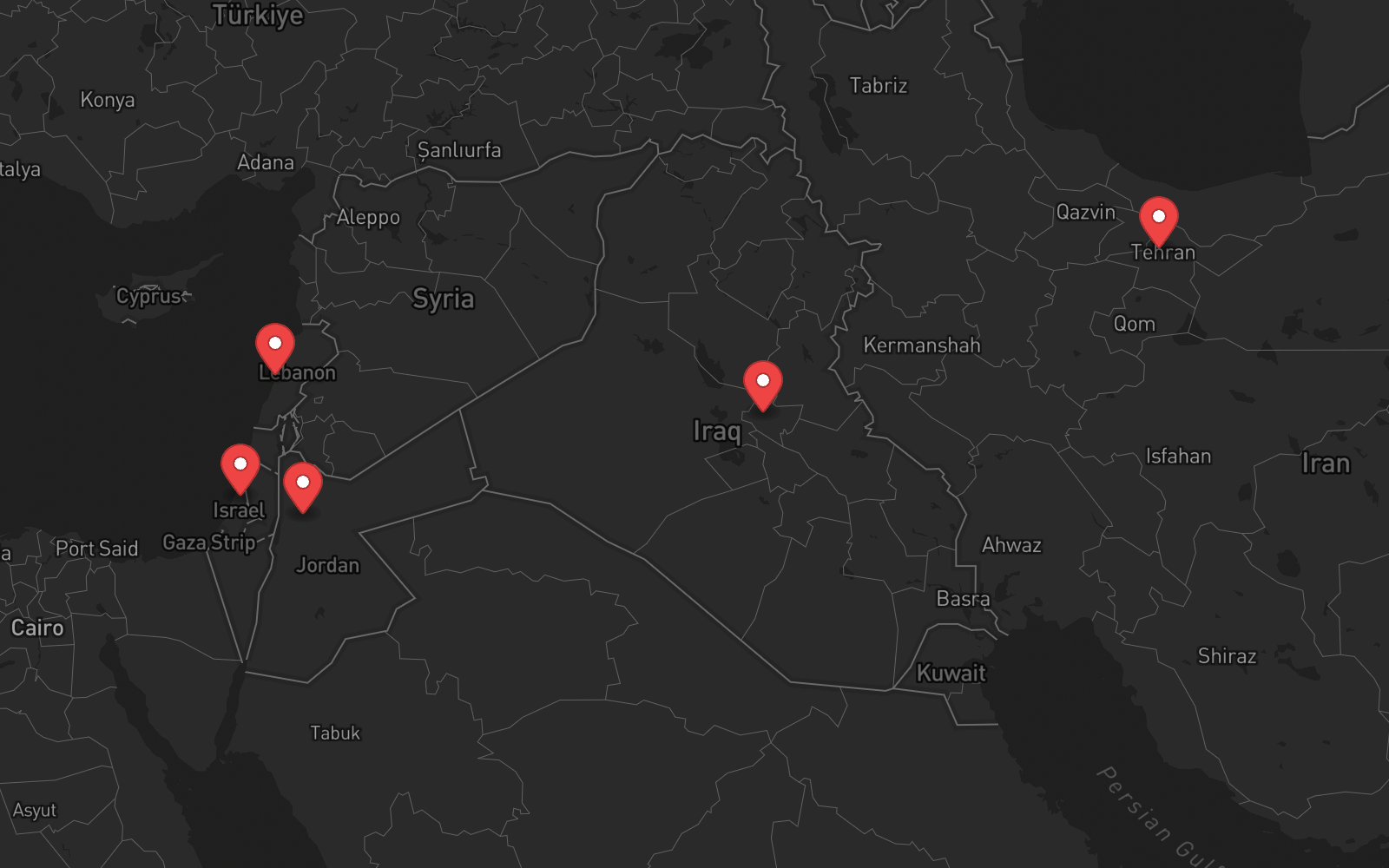
On October 1, 2024, a regional military escalation resulted in operational events transiting the airspace of multiple countries — Iraq, Jordan, and Syria — in what became the largest simultaneous airspace disruption of the year. Five Flight Information Regions closed within one hour.
| FIR | Country | Closed | Reopened |
|---|---|---|---|
| LLLL | Israel | ~17:00 UTC | Late Oct 1 local |
| OJAC | Jordan | ~17:00 UTC | Late Oct 1 local |
| ORBB | Iraq | 17:56 UTC (56-min lag) | Late Oct 1 local |
| OLBB | Lebanon | ~17:00 UTC | 2h initial, reassessed |
| OIIX | Iran | ~16:45 UTC | Oct 3, 05:00 local (36h) |
Sources: NOTAM publications, EASA CZIB, airline operational statements. Syria (OSTT) under pre-existing restrictions but not confirmed formally closed during this event.
The 56-Minute Gap
Air France flight AF662 (Paris CDG → Dubai) was transiting southern Iraq at approximately 16:45 UTC when the escalation began. The crew reported visual contact with operational events from the cockpit. Iraqi ATC told them: "good luck."
Air France self-suspended all Iraqi overflights at 17:00 UTC — 15 minutes after the escalation began, and 56 minutes before Iraqi authorities officially closed the ORBB FIR at 17:56 UTC.
During that 56-minute window, aircraft from other airlines continued transiting Iraqi airspace with no official warning. The gap between threat onset and NOTAM publication is the core problem FlySafe addresses.
Early Signals
The October 1 attack did not come without context. Escalation signals were visible for weeks — but no aviation authority translated them into pre-event NOTAMs for Iraq or Iran:
July 31: Haniyeh assassinated in Tehran. September 27: Nasrallah assassinated in Beirut. Iran publicly stated retaliation was imminent. The escalation pattern was unambiguous.
EASA had already issued CZIBs for Israel (LLLL) and Lebanon (OLBB) in September 2024 — valid to October 31. These reflected elevated conflict risk. But no CZIB existed for Iraq (ORBB) or Iran (OIIX) before the attack.
ACLED and ICG documented sustained escalation throughout September. Cross-border activity patterns pointed toward a larger event.
Open-source intelligence and news feeds carried explicit Iranian retaliation warnings. U.S. and Israeli intelligence reportedly identified likely targets days before the attack.
Some carriers (KLM) had already pre-emptively extended Tel Aviv suspensions before October 1. ADS-B showed reduced European carrier activity in LLLL/OLBB per EASA CZIBs. But ORBB and OIIX traffic remained normal until the escalation began.
The gap: Geopolitical signals clearly indicated elevated risk across the region. EASA acted on LLLL and OLBB. But no authority issued pre-event warnings for ORBB (Iraq) or OIIX (Iran) — the two FIRs most critical for Europe–Asia trunk routes. Airlines were left to make their own risk assessments from fragmented data sources.
Timeline
Haniyeh assassinated in Tehran. Iran publicly threatens retaliation against Israel.
Nasrallah assassinated in Beirut. EASA issues CZIBs for LLLL and OLBB. Iran escalates retaliation posture. KLM extends Tel Aviv suspension.
Open-source intelligence indicates imminent Iranian action. European carriers already avoiding LLLL/OLBB. No CZIB for ORBB or OIIX.
Regional military escalation begins. AF662 crew sees operational events from cockpit over Iraq. GPS jamming detected across region.
Air France self-suspends (17:00). LLLL, OJAC, OLBB close (~17:00–17:30). ORBB official closure at 17:56. 81 flights diverted by 16 airlines. Istanbul receives 19 diversions.
EASA publishes CZIB for Iran (OIIX). Iran announces extended closure anticipating Israeli counter-strike. ADS-B shows empty corridor across all five FIRs.
Iran reopens OIIX after ~36 hours. Other FIRs resumed earlier. EASA consolidates all five FIRs into single CZIB. Most operators avoid Iran and Israel indefinitely.
What Airlines Did
- Air France — self-suspended Iraqi overflights at 17:00 UTC, 56 min before official closure
- KLM — had pre-emptively extended Tel Aviv suspension before October 1
- Most European carriers — already avoiding LLLL/OLBB per September EASA CZIBs
- Lufthansa — 3 flights turned back to Frankfurt, up to 8h added per journey
- Swiss — Zurich–Dubai diverted to Antalya mid-flight
- British Airways — London–Dubai diverted to Larnaca
- Aeroflot — Tehran-bound flight returned to Moscow
81 flights diverted by 16 airlines. Istanbul was the top diversion destination (19 flights). Qatar Airways and Emirates led in total diversion volume.
Aviation Impact
16 airlines affected. Istanbul received 19 diversions — the most of any single airport. Cairo and Larnaca also served as major alternates.
Iran's OIIX FIR is the primary corridor for Europe–India and Europe–Southeast Asia. Each reroute via northern (Caucasus) or southern (Egypt/Oman) corridors added hours and fuel.
Iran earns ~$2,300 per wide-body transit in navigation charges. The 36-hour closure cost millions in lost overflight revenue alone.
Post-October 2024, most operators permanently avoided Iranian and Israeli airspace. The event triggered a structural change in global routing patterns that persists today.
Takeaway
The October 2024 event proved that NOTAMs are reactive, not predictive. The official system worked exactly as designed — and it was still 56 minutes too late for aircraft already in the affected airspace.
Meanwhile, the signals were there: assassinations with public retaliation promises, EASA CZIBs for neighboring FIRs, escalating conflict databases, open-source intelligence. One airline connected the dots before the NOTAM. The others waited.
Had a system like FlySafe been operational, the escalation pattern from July through September may have been tracked automatically — scoring risk for ORBB and OIIX alongside the already-flagged LLLL and OLBB. Airlines may have seen the full picture, not just the FIRs EASA had already warned about.
Sources
- EASA — CZIBs for Israel and Lebanon (September 2024), Iran CZIB (October 2, 2024), consolidated five-FIR CZIB
- Air France — Official statement on flight AF662, October 1, 2024
- CNN — Air France jet flew over Iraq during regional military escalation
- Euronews — Iran attack: Middle Eastern airspace closure and flight diversions reporting
- Flightradar24 — ADS-B data: deserted airspace corridor visualization, GPS jamming alerts
- OpsGroup — Middle East Airspace: Current Operational Picture
- ACLED / ICG — Armed conflict event tracking and Iran trigger list
- Safe Airspace — Conflict zone risk database (safeairspace.net)
- Crisis24 / Garda — Iran airspace extension alert, October 2, 2024
All data sourced from publicly available records, airline statements, aviation authority publications, and open news reporting.
This is a retrospective analysis of publicly documented events from October 2024. FlySafe's prediction system was not operational during this event. Signal categories described are based on data sources that were available at the time and are now part of FlySafe's monitoring pipeline. All information is sourced from public records, EASA publications, airline statements, and open data.