FlySafe was not operational during this event. This analysis reconstructs publicly available signals — to demonstrate how political instability creates aviation risk that existing systems fail to capture.
Syria Airspace Collapse
December 8, 2024
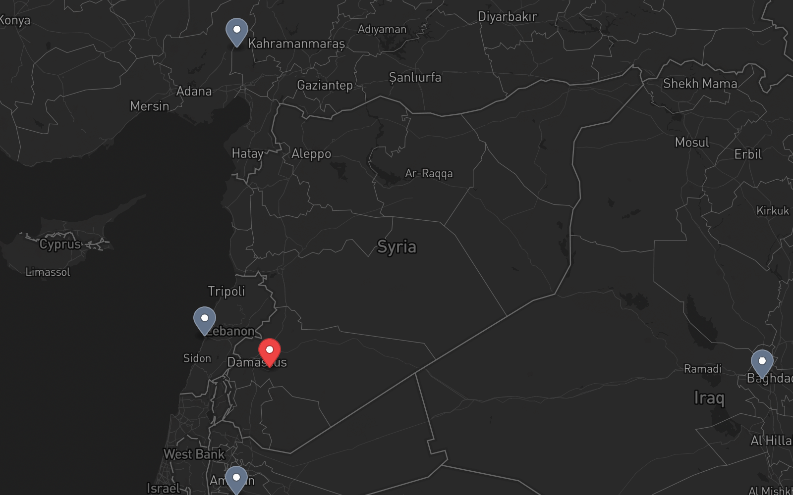
No missile launched. No bomb fell on ATC infrastructure. A government dissolved — and with it, the authority that keeps airspace safe. The Damascus FIR closed for 7 days, airports for a month. But the collapse was visible for 11 days before it reached the capital. Aleppo's airport closed 8 days earlier. The signals were there.
A Different Kind of Closure
The other case studies in this series document sudden events: missiles, drone strikes, overnight closures. Syria was different. This was a slow-motion institutional collapse — the government that controlled airspace for decades simply ceased to exist over 11 days.
- Sudden onset (minutes)
- Known trigger event
- Duration: hours to days
- ATC infrastructure intact
- Clear reopening conditions
- Gradual onset (11 days)
- Institutional dissolution
- Duration: 7 days overflights, 30 days airports
- Radar looted, staff fled
- Reopening required new government
The 11-Day Warning
Unlike sudden military strikes, Syria's airspace collapse was preceded by 11 days of observable deterioration. Each milestone was publicly documented:
Aleppo airport closed November 30 — 8 full days before the Damascus FIR closure. A functioning airport going offline is the strongest possible signal of imminent wider disruption.
Aleppo (Nov 29) → Hama (Dec 5) → Homs (Dec 7) → Damascus (Dec 8). A southward advance toward the capital at unprecedented speed — each city fall predictive of the next.
CZIB-2017-03 (revision R15 issued October 31, 2024): "do not fly within Syrian airspace at all altitudes." The standing recommendation already covered this scenario — but didn't predict it.
ACLED documented the conflict escalation from November 27. Event density around Aleppo, then Hama, then Homs tracked territorial changes in near real-time.
Global media covered the advance extensively. CNN, Al Jazeera, BBC reported each city's fall in real-time. The trajectory toward Damascus was publicly obvious by December 5.
Timeline
Opposition forces launch a major ground offensive from Idlib. First major escalation since March 2020 ceasefire.
Opposition forces enter Aleppo. Government control collapses in hours — far faster than expected.
Aleppo International Airport closed. First aviation casualty — 8 days before Damascus.
Control of Hama changes. Opposition forces now 200km from Damascus. Speed of territorial change unprecedented.
Homs changes hands. Opposition 20km from Damascus. Thousands displaced. Government collapse now appears inevitable.
Government collapses. Opposition enters Damascus. SCAA issues full-closure NOTAM. OSTT FIR shutdown begins.
New administration takes control of Damascus airport. Airport found looted, radar equipment missing. Transport Minister announces phased reopening plan.
OSTT airspace reopens for overflights. MEA (Beirut) is first airline to transit. Most carriers continue to avoid.
First domestic commercial flight: Damascus–Aleppo (Cham Wings A320, 32 passengers).
First international flights: Qatar Airways QR410 (Doha–Damascus, first in 13 years) + Syrianair RB501 (Damascus–Sharjah).
Staged Shutdown, Staged Recovery
Unlike military-strike closures that reopen within hours once the threat passes, political collapse requires rebuilding institutional authority. Syria's reopening came in three phases — each dependent on the new government establishing control:
7 days
10 days
30 days
Even after reopening, EASA maintained its standing CZIB-2017-03: "do not fly within Syrian airspace at all altitudes." US, Canadian, and UK operators remain prohibited. Most airlines continued to avoid OSTT. The institutional damage outlasts the closure itself.
Aviation Impact
OSTT is a natural crossroads between Europe/Northern Africa and the Gulf/South Asia. Every reroute via Turkey-Caucasus or Egypt-Saudi adds significant fuel and time.
Of Syrianair's 17 aircraft, only 2 A320s were operational by January 2025. A national carrier reduced to near-zero capacity.
Qatar Airways' January 7 Damascus flight was its first in 13 years — illustrating how conflict-driven closures create permanent connectivity losses measured in decades.
Radar equipment looted during the collapse. Post-reopening, Syria relied on Lebanese and Turkish radar for air traffic monitoring — a dependency with its own risks.
Takeaway
Not every airspace threat arrives as a missile. Political instability — tracked through conflict databases, territorial changes, and airport closures — can collapse a critical corridor just as completely. And unlike military strikes, the recovery takes months, not days.
Syria proved that an airport closure within a FIR (Aleppo, November 30) is a leading indicator for full FIR closure (Damascus, December 8). This pattern — sub-FIR degradation preceding full shutdown — is exactly the kind of signal that automated monitoring can detect and escalate.
Had a system like FlySafe been operational, the Aleppo airport closure on November 30 may have indicated an automatic risk escalation for the entire OSTT FIR — 8 days before the full shutdown. Combined with conflict database signals, territorial advance tracking, and the standing EASA CZIB, the risk score for OSTT may have been at CRITICAL well before December 8.
Sources
- EASA — CZIB-2017-03R17: Airspace of Syria (standing recommendation since 2017, revised through 2024)
- ch-aviation — Syria reopens airspace, airports stay closed (ADS-B analysis, December 15, 2024)
- Al Jazeera — First Syria flight takes off from Damascus airport since the political transition
- CNN, Washington Post — Timeline of Syrian political transition
- Simple Flying — Tracking first two commercial flights to/from Syria after political transition
- Qatar Airways — Official announcement: Damascus service resumption after 13 years
- ACLED — Armed conflict event tracking, Northwestern Syria escalation
- Safe Airspace — Syria conflict zone status (safeairspace.net)
- OpsGroup — Middle East Airspace operational picture
All data sourced from publicly available records, aviation authority publications, airline statements, and open news reporting.
This is a retrospective analysis of publicly documented events from November–December 2024. FlySafe's prediction system was not operational during this event. Signal categories described are based on data sources that were available at the time and are now part of FlySafe's monitoring pipeline. All information is sourced from public records, EASA publications, airline statements, and open data.