Searches such as "UAE airspace closed" and "Caribbean airspace closed" recur throughout 2026, yet FlySafe's confirmed-event data shows the year's disruption burden concentrated in a very different set of flight information regions. Between 1 January and 5 August 2026, FlySafe collectors confirmed 512 airspace-disruption events across 68 FIRs, totalling 4,220 airspace-days of disruption. Each event in this dataset met a two-signal consensus threshold — at least two independent corroborating sources plus an attributed cause — with detections of undetermined cause excluded. This bulletin summarizes where those airspace-days were lost, how the monthly trend developed, and why NOTAM-only monitoring misses the majority of confirmed disruptions.
Analysis is based on publicly available data only. Data as of 2026-08-05.
The FIRs That Lost the Most Airspace-Days in 2026
Six FIRs account for a disproportionate share of the year-to-date total. The ranking below is by cumulative airspace-days (the number of days each confirmed disruption ran, summed per FIR), per FlySafe collector data for the window 2026-01-01 to 2026-08-05.
| Rank | FIR | Confirmed events | Airspace-days | Flight-traffic corroboration | NOTAM corroboration |
|---|---|---|---|---|---|
| 1 | Damascus FIR (OSTT) | 56 | 586.0 | 34% of events | 64% |
| 2 | RPHI | 37 | 479.0 | 0% | 95% |
| 3 | UHMM | 26 | 334.0 | 0% | 96% |
| 4 | SEFG | 20 | 300.0 | 0% | 100% |
| 5 | WIIF | 24 | 298.0 | 100% | 100% |
| 6 | SKED | 19 | 285.0 | 100% | 100% |
Two patterns stand out in the corroboration columns. In WIIF and SKED, every confirmed event was corroborated by both FlySafe's own ADS-B flight-traffic collection and by NOTAM — the strongest possible evidentiary profile in this dataset. In RPHI, UHMM, and SEFG, by contrast, corroboration came almost entirely through NOTAM channels, with flight-traffic corroboration at 0% — consistent with disruptions in volumes where observable traffic changes are harder to detect. Damascus FIR (OSTT), the year's most disrupted region by airspace-days, shows the inverse gap: NOTAM corroboration in only 64% of its 56 events, meaning a NOTAM-only review would have missed roughly a third of confirmed OSTT disruptions.
A fuller ranking across all 68 affected FIRs is maintained in FlySafe's companion analysis, 2026's most-disrupted FIRs ranked by NOTAM aviation data.
Monthly Trend: A Steep Mid-Year Climb
Confirmed events by month, per FlySafe collector data (as of 2026-08-05):
| Month (2026) | Confirmed events |
|---|---|
| January | 5 |
| February | 16 |
| March | 1 |
| April | 21 |
| May | 72 |
| June | 143 |
| July | 248 |
| August (through 5 Aug) | 6 |
The first quarter was comparatively quiet — 22 confirmed events across January–March. The confirmed-event rate then climbed sharply: May recorded 72 events, June 143, and July 248, making July alone responsible for nearly half of all confirmed events year-to-date. August figures cover only the first five days of the month and are not comparable to full-month totals.
What Caused the Lost Days: Cause-Category Mix
By airspace-days, the 2026 disruption burden divides into the following neutral operational categories (FlySafe data, 2026-01-01 to 2026-08-05):
- Volcanic ash — 56% (2,365 airspace-days across 210 events)
- Conflict-zone restrictions — 31% (1,327 airspace-days across 190 events)
- Seismic activity — 7% (300 airspace-days across 43 events)
- Tropical cyclones — 3% (131 airspace-days across 23 events)
- Other regulatory restrictions — 2% (97 airspace-days across 46 events)
Volcanic ash is the dominant driver of lost airspace-days in 2026 so far, exceeding conflict-zone restrictions by a wide margin despite a similar event count (210 vs 190 events). Seismic activity, while accounting for only 7% of airspace-days, maps directly to the 300 airspace-days recorded in SEFG.
On recovery: all 512 confirmed disruptions in the window have ended, with 274 concluding in the last 30 days. The average confirmed disruption ran approximately 8.2 airspace-days.
Is Qatar Airspace Closed? Is Canadian Airspace Closed? Searches vs. the Data
Search interest in queries such as "is Qatar airspace closed," "canada airspace closed," and "why is Caribbean airspace closed" does not align with where 2026's confirmed disruptions actually occurred. None of the FIRs covering the UAE, Qatar, Canada, or the Caribbean appear among the most disrupted regions in FlySafe's confirmed-event data for the year to date; the disruption burden is concentrated in the six FIRs tabled above, within a total footprint of 68 affected FIRs worldwide.
FlySafe applies precise regulatory terminology in these assessments: an airspace volume is described as "closed" only when the relevant state civil aviation authority has issued a NOTAM or AIP entry prohibiting all civil operations, and "restricted" only when operations are conditionally permitted. Advisory-level publications without state-level force are labelled "advisory only." Operators verifying the current status of any specific FIR should consult the current NOTAMs published by the responsible state authority; per-FIR NOTAM references for the events summarized here are not reproduced in this bulletin.
The Signal Gap: Why NOTAM-Only Monitoring Misses Most Disruptions
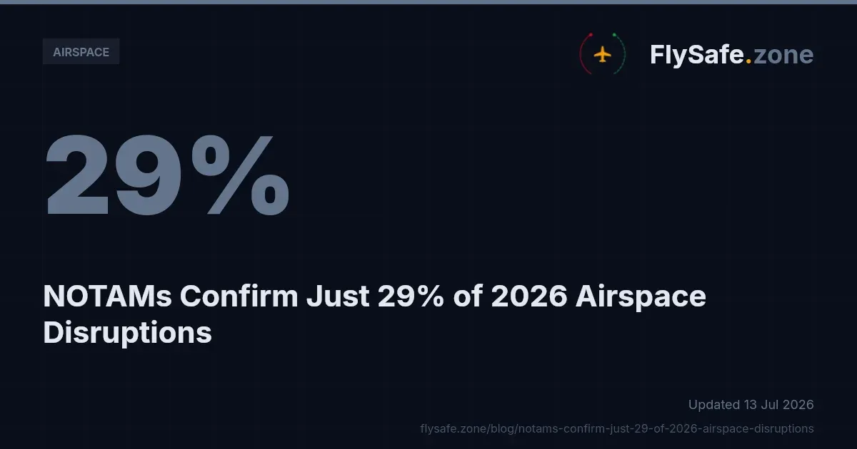
Among FIRs with three or more confirmed events in 2026, flight-traffic data corroborated approximately 77% of events, while NOTAM publications corroborated approximately 42%. A monitoring posture that relies solely on NOTAM review therefore misses the majority of confirmed disruptions — a finding examined in depth in FlySafe's analysis of why NOTAMs miss most airspace disruptions in 2026.
The practical implication for flight-planning and dispatch teams is that NOTAM feeds, while indispensable, are an incomplete detection layer. Independent observation of actual traffic behavior — such as ADS-B-derived flight-traffic analysis — surfaces disruptions that formal notice channels either lag on or do not capture at all.
Recommendation: operators and dispatchers should treat NOTAM review as necessary but not sufficient, and supplement it with independent traffic-based corroboration when assessing route availability through any of the FIRs listed above.
Regulatory Context
The disruptions summarized here sit within an established international framework:
- ICAO Annex 11 (Air Traffic Services) governs the delimitation of flight information regions and the provision of air traffic services within them — the FIR structure by which this bulletin's data is organized.
- ICAO Annex 15 (Aeronautical Information Services) and ICAO Doc 4444 (PANS-ATM) govern the publication of NOTAMs and the procedural handling of airspace restrictions; the NOTAM-corroboration figures above measure events against notices issued under this framework. See the ICAO Annex 15 overview for the AIS framework.
- EASA Conflict Zone Information Bulletins (CZIB) provide advisory-level risk information for European operators regarding airspace affected by conflict-zone restrictions; a CZIB is advisory only unless adopted by a state CAA via NOTAM or AIP. Current bulletins are published on the EASA CZIB page.
- EU Regulation 965/2012 (Air Operations) obliges EU operators to assess operational risk as part of their management systems, which encompasses route exposure to disrupted airspace.
- 14 CFR Part 91 (including §91.703 for operations outside the United States) establishes the corresponding operating-rule obligations for US-registered aircraft, per the FAA's Part 91 regulations.
Methodology & Provenance
- Source: FlySafe airspace-risk collectors; window 2026-01-01 to 2026-08-05; data as of 2026-08-05.
- Confirmation standard: FlySafe's consensus engine requires at least two independent signals per event plus an attributed cause; detections with undetermined cause are excluded from all figures in this bulletin.
- Inputs: public NOTAM publications, EASA advisories, FAA TFR data, volcanic-ash and seismic advisories, and FlySafe's own ADS-B flight-traffic collection, which serves as the primary corroborating signal.
- Units: an "airspace-day" is one day of one confirmed disruption in one FIR; per-FIR totals sum the duration of all confirmed events in that FIR.
- Known gaps: the dataset does not include cost estimates, carrier-specific rerouting records, or individual NOTAM identifiers; none are cited here. Figures for August 2026 are partial (five days).
FlySafe is not an operational authority. This bulletin is informational analysis based exclusively on publicly available, independently verifiable data and does not constitute flight-planning guidance, a NOTAM substitute, or operational advice. Operators must rely on official state AIS publications and their own approved risk-assessment processes.
Key Takeaway
2026 to date has produced 512 confirmed airspace disruptions totalling 4,220 airspace-days across 68 FIRs, with the burden concentrated in six regions led by Damascus FIR (OSTT) at 586 airspace-days — while the regions most searched for closures do not appear among them. With NOTAM channels corroborating only around 42% of confirmed events in frequently affected FIRs, traffic-based monitoring has become the decisive detection layer. FlySafe's confirmed-event tracking continues through 2026; operators seeking FIR-level disruption histories and live corroboration can explore the full dataset at FlySafe.
- Damascus FIR (OSTT) leads all regions with 586 airspace-days from 56 confirmed events, yet NOTAM-only monitoring would have missed roughly one-third of those events — the highest such gap among top-ranked FIRs.
- Confirmed disruption events accelerated sharply in mid-2026: July alone recorded 248 events, nearly half the year-to-date total of 512, against just 22 events in the entire first quarter.
- For several high-ranking FIRs (RPHI, UHMM, SEFG), flight-traffic corroboration was 0% — meaning ADS-B observable traffic changes could not independently confirm disruptions that NOTAMs did capture, likely due to low baseline traffic volumes in those regions.
Powered by B1KEY
Live tools behind the analysis.
The signals FlySafe writes about are also published live — continuously verified by the Sentinel pipeline.
Information is accurate as of the publication date. FlySafe uses exclusively publicly available data.