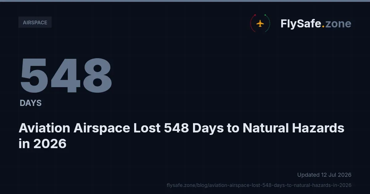
Natural hazards — volcanic ash, seismic activity and tropical cyclones — accounted for 63 percent of all airspace-days lost to confirmed disruption events in 2026, according to FlySafe airspace-risk collectors for the window 1 January to 27 July 2026. Against a year-to-date total of 408 confirmed airspace-disruption events across 65 flight information regions (FIRs), totalling 3,088 airspace-days, environmental factors rather than regulatory or security-driven restrictions were the single largest driver of lost airspace when measured by duration.
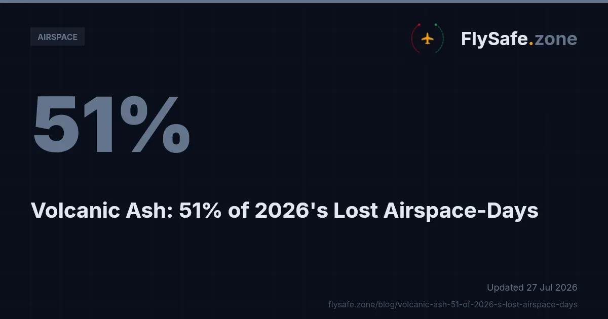
FlySafe analysis shows that this share is dominated by one category. Volcanic ash alone represented 51 percent of all airspace-days (1,561 days across 140 events), making it the largest single operational cause tracked this year. Seismic activity added a further 9 percent (279 days, 38 events) and tropical cyclones 3 percent (89 days, 16 events). This bulletin summarises where these disruptions concentrated, how they were detected, and what flight-planning teams should take from the data. All figures are as of 27 July 2026 and are drawn exclusively from publicly available advisories corroborated by FlySafe's own surveillance collection.
How natural-hazard airspace disruptions are detected
FlySafe's consensus engine requires at least two independent signals before an event is confirmed, and every confirmed event carries an attributed cause. Detections with an undetermined cause are excluded from the totals above, so the 408-event figure reflects only corroborated, cause-attributed disruptions.
For natural hazards, the primary public inputs differ by category:
- Volcanic ash is drawn from volcanic-ash advisories issued through the international volcano-watch framework operated by the designated Volcanic Ash Advisory Centres (VAACs), together with associated NOTAMs.
- Seismic activity is drawn from public seismic advisories and the airspace or aerodrome notices that follow them.
- Tropical cyclones are drawn from cyclone-track products and severe-weather meteorological advisories, including SIGMETs issued by Meteorological Watch Offices.
Each of these public signals is then checked against FlySafe's own ADS-B flight-traffic collection, which serves as the primary corroborating signal. Where transmitted traffic patterns shift — routes clearing out of a volume, or laterally displacing around it — the advisory is treated as operationally live rather than purely notional. This two-signal requirement is what separates a confirmed disruption from an unverified advisory.
Volcanic ash: the largest single cause
Volcanic ash was not only the largest category by airspace-days but was also concentrated in a small number of FIRs. The three most-affected regions were:
- RPHI — 376.0 airspace-days
- UHMM — 223.0 airspace-days
- WIIF — 221.0 airspace-days
These three FIRs together carried the majority of the 1,561 volcanic-ash airspace-days recorded year-to-date.
The corroboration profile within this category is worth noting for anyone who relies on a single data source. In RPHI, all confirmed volcanic-ash events were corroborated by NOTAM in 93 percent of cases but by observed flight-traffic in 0 percent. UHMM showed the same pattern — NOTAM corroboration in 95 percent of events and flight-traffic corroboration in 0 percent. In practical terms, traffic in those regions appears to have been sparse or already displaced, so the ADS-B signal added little, and the NOTAM and VAAC advisories carried the confirmation. WIIF sat at the opposite end: 100 percent NOTAM corroboration and 100 percent flight-traffic corroboration, indicating an ash-affected volume that traffic was actively navigating around.
Volcanic ash is an operational hazard because ingestion can degrade engine performance and abrade forward-facing surfaces and sensors. The relevant operational response is straightforward in principle: where a state civil aviation authority has issued a NOTAM banning civil aircraft from an affected volume, the airspace is closed and must be treated as such; where only conditional limits apply — for example a floor at a specified flight level — the airspace is restricted rather than closed.
Recommendation: flight-planning teams operating near active VAAC-designated areas should treat volcanic-ash advisories as a live routing input for the full planning horizon, not a point-in-time check, because ash plumes drift and forecast polygons are reissued.
Seismic activity and its airspace footprint
Seismic activity accounted for 279 airspace-days across 38 confirmed events — 9 percent of the year-to-date total. It was even more concentrated than volcanic ash. The most-affected FIRs were:
- MMFR — 223.0 airspace-days
- RJDG — 21.0 airspace-days
- RJTG — 12.0 airspace-days
MMFR alone carried the overwhelming majority of seismic airspace-days. Notably, every confirmed MMFR event was corroborated by both NOTAM (100 percent) and observed flight-traffic (100 percent), which is the strongest possible corroboration profile in the dataset — the public notice and the surveillance evidence agreed in every case.
Seismic events affect aviation less through the airspace volume itself and more through ground infrastructure: runway integrity, terminal serviceability, and navigation-aid or power availability. The airspace-day metric captures the period during which the affected FIR or its aerodromes carried an active operational limitation, however that limitation was expressed.
Tropical cyclones: short-duration, high-density
Tropical cyclones represented 3 percent of airspace-days (89 days across 16 events). The most-affected FIRs were:
- ZSHA — 72.0 airspace-days
- ZJSA — 6.0 airspace-days
- RCAA — 3.0 airspace-days
Cyclone-driven disruptions are typically shorter than volcanic events because the hazard moves through a region rather than persisting over it, but they can be dense while active — affecting departures, arrivals and en-route sectors simultaneously. The operational signal for this category is the severe-weather advisory, and the appropriate en-route product to monitor is the SIGMET, which is issued for severe meteorological phenomena and is valid for a matter of hours, requiring frequent refresh during an active system.
The full 2026 picture: where natural hazards sit
To keep the natural-hazard figures in context, the complete cause-category mix by airspace-days, as of 27 July 2026, was:
- Volcanic ash — 51 percent (1,561 days, 140 events)
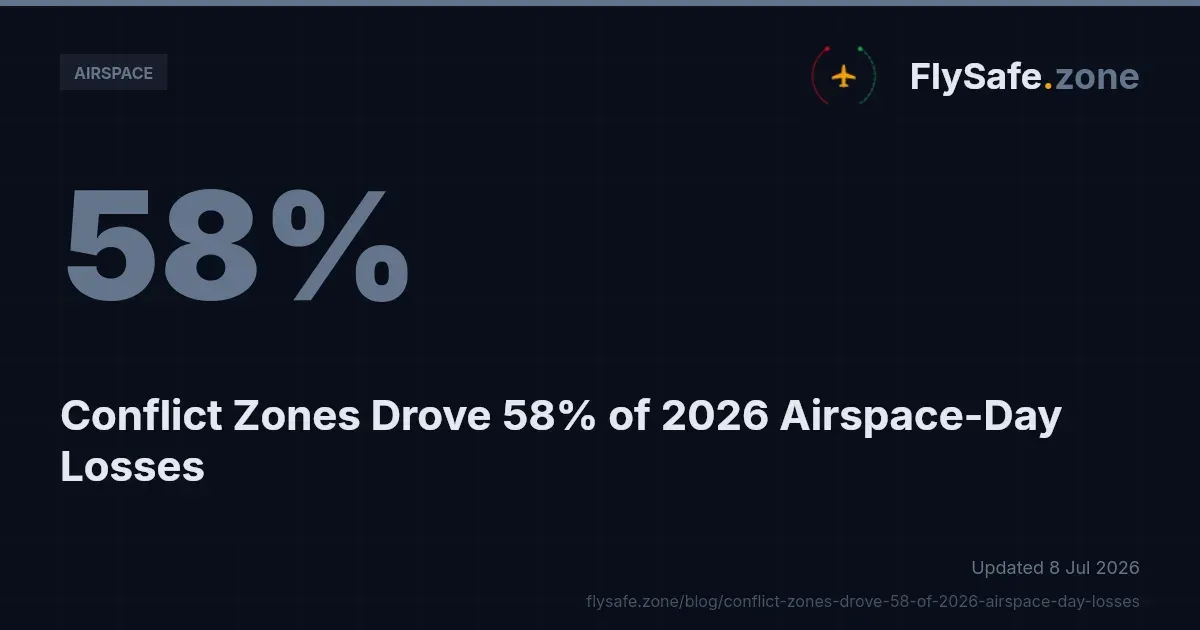
- Conflict-zone restrictions — 34 percent (1,062 days, 168 events)
- Seismic activity — 9 percent (279 days, 38 events)
- Other regulatory restrictions — 3 percent (97 days, 46 events)
- Tropical cyclones — 3 percent (89 days, 16 events)
The monthly confirmed-event trend rose through the window: 5 in January, 16 in February, 1 in March, 21 in April, 72 in May, 143 in June and 150 in July. Every one of the 408 confirmed disruptions has since ended — 235 of them in the last 30 days — and the average confirmed disruption ran approximately 7.6 airspace-days. That short mean duration is a planning point in itself: most disruptions are measured in days, not weeks, so pre-flight currency matters more than long-range assumptions.
The full ranking of the year's most-disrupted regions is covered in the FlySafe review of 2026's most-disrupted FIRs, which sets the natural-hazard FIRs above alongside every other tracked category.
Why a NOTAM-only review misses disruptions
One methodological finding cuts across all categories. Among FIRs with at least three confirmed events, observed flight-traffic corroborated roughly 77 percent of events, while NOTAM corroborated roughly 42 percent. A review built on NOTAMs alone would therefore miss the majority of confirmed disruptions in the busiest regions.
The volcanic-ash examples above show that the reverse also happens — in RPHI and UHMM, NOTAM carried the confirmation where traffic did not — which is precisely why a two-signal consensus model is used rather than any single source. The broader gap between the two signals, and what it means for dispatch review, is examined in the FlySafe analysis of how NOTAMs miss most airspace disruptions in 2026. The practical takeaway for planners: cross-check meteorological and volcanic advisories against actual traffic behaviour, rather than assuming a NOTAM feed is complete.
Regulatory Context
The frameworks below govern how the hazards in this bulletin are notified and handled. They are cited only where they genuinely apply to natural-hazard airspace management.
- ICAO Annex 11 (Air Traffic Services) and ICAO Doc 4444 (PANS-ATM) define how air traffic services manage and separate traffic around hazard volumes, including reroute and holding procedures.
- ICAO Annex 15 (Aeronautical Information Services) governs the NOTAM and AIP system through which states publish closures and restrictions. A temporary volcanic or seismic closure is properly carried by NOTAM; permanent structural airspace information sits in the AIP. See ICAO's information-management framework.
- ICAO Annex 19 (Safety Management) frames the risk-management obligations that underpin operator hazard assessment.
- EU Regulation 965/2012 (Air Operations) and 14 CFR Part 91 (General Operating and Flight Rules) set the operator-side rules — including international operating requirements — that determine how a crew must respond to a published closure or restriction.
- Meteorological and volcanic advisory products (SIGMET and volcanic-ash advisories) are issued under the ICAO meteorological framework and remain advisory inputs until a state CAA gives them regulatory force through a NOTAM or AIP entry. EASA's conflict-zone and safety bulletins are a separate advisory instrument and do not, on their own, close airspace.
The precise terminology matters here: airspace is "closed" only when a state CAA has issued a NOTAM or AIP entry banning all civil aircraft from the volume, and "restricted" when operations are conditionally allowed. Advisories without a supporting state-level restriction are "advisory only".
Methodology & Provenance
- Source: FlySafe airspace-risk collectors. Window: 1 January to 27 July 2026. As-of date: 27 July 2026.
- Scope: confirmed events only — defined as at least two independent signals plus an attributed cause. Undetermined-cause detections are excluded.
- Inputs: public NOTAM, EASA and FAA advisory products, volcanic-ash advisories, seismic advisories and severe-weather advisories, corroborated by FlySafe ADS-B flight-traffic collection as the primary corroborating signal.
- Cause categories are neutral operational classifications only. No country, actor, or specific incident is named.
- Honest gaps: this dataset measures airspace-days, events and FIRs. It does not contain cost figures, individual carrier reroute records, or specific NOTAM identifiers, so none are stated here. Where corroboration was absent for a category, that absence is reported rather than filled.
Key takeaway: in 2026 to date, natural hazards — led by volcanic ash — drove nearly two-thirds of all lost airspace-days, concentrated in a handful of FIRs (RPHI, UHMM, WIIF for ash; MMFR for seismic; ZSHA for cyclones), and the majority of confirmed disruptions in busy regions would be missed by a NOTAM-only review.
FlySafe provides this consensus-based airspace-risk monitoring as a planning aid built entirely on publicly available, independently verifiable data. It is not an operational authority. Pilots, dispatchers and operators must consult official NOTAMs, current meteorological and volcanic advisories, and their state civil aviation authority for operational decisions. Analysis based on publicly available data only.
- Volcanic ash alone accounts for 51% of all airspace-days lost to confirmed disruption events in 2026 YTD (1,561 days across 140 events), making it the single largest operational cause — larger than all regulatory and security-driven restrictions combined.
- FlySafe's confirmation methodology requires two independent signals: a public advisory (VAAC, seismic notice, or SIGMET) plus a corroborating shift in ADS-B traffic patterns — this two-signal gate is what separates a confirmed disruption from an unverified advisory.
- Volcanic ash disruption is geographically concentrated: three FIRs — RPHI (376 days), UHMM (223 days), and WIIF (221 days) — carried the majority of the 1,561 ash-affected airspace-days recorded year-to-date.
Powered by B1KEY
Live tools behind the analysis.
The signals FlySafe writes about are also published live — continuously verified by the Sentinel pipeline.
Information is accurate as of the publication date. FlySafe uses exclusively publicly available data.